- Accession Number:
- 1992.269
- Description:
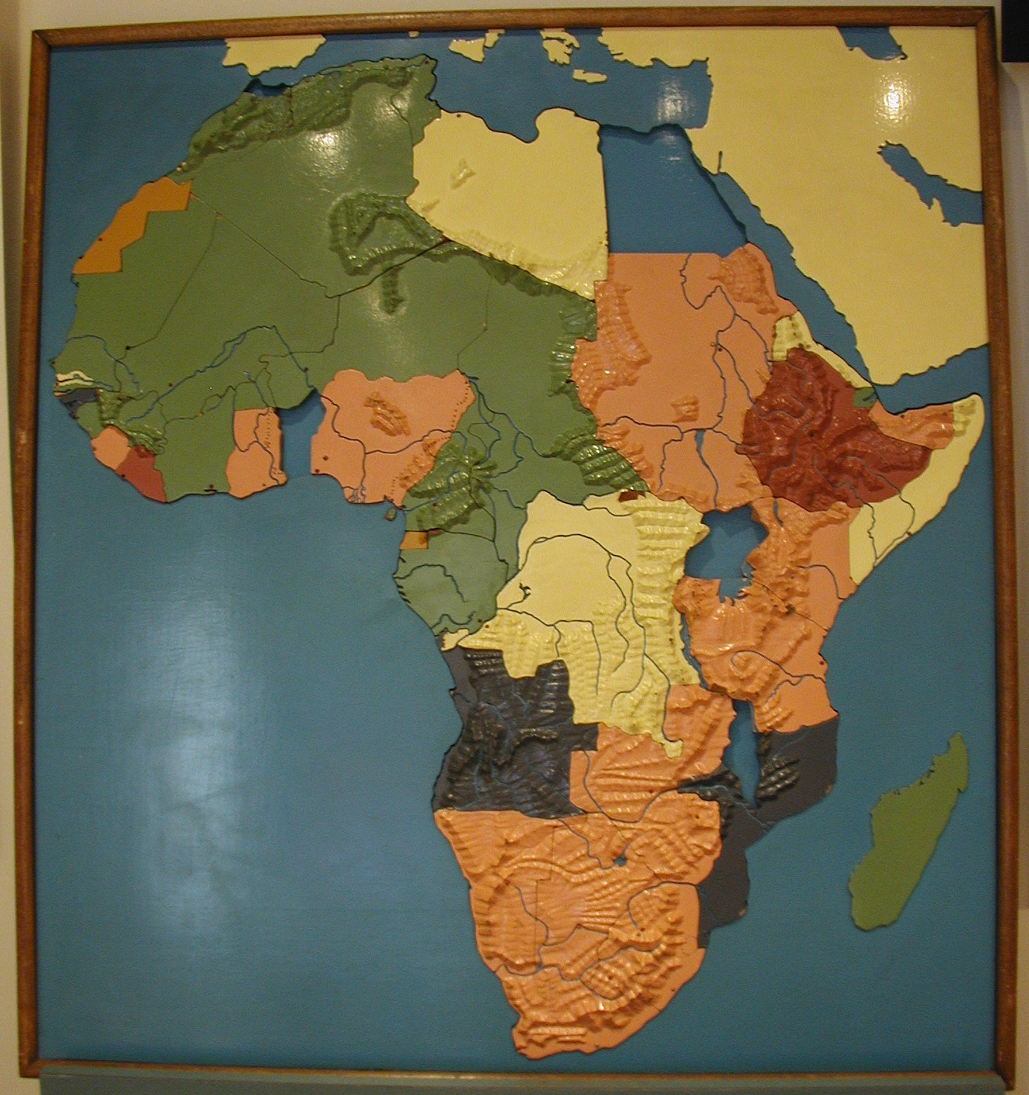
- Carved wood relief map of Africa; painted and dissected; bodies of water are painted blue, rivers are recessed; mountains are carved in relief; countries are enameled pink, green, yellow, gray, red, and gold; principal cities indicated by nailheads, capitols are pointed and enameled red, others are rounded and enameled white; all pieces stamped on reverse, "#2"; reverse sides left unpainted; missing Spanish Morroco.
- Height:
- 47
- Width:
- 38
- Depth:
- 4
- Date Made:
- ca. 1940
- Maker:
- American Printing House for the Blind
- Place of Origin:
- Louisville, KY
- Collection:
- APH Collection
- History/Provenance:
- APH Collection
- Credit Line:
- Gift of the Missouri School for the Blind, 1992.269.
- Subjects:
- Africa. Maps for the blind and visually impaired Maps. Tactile graphics.
- Dimension Notes:
- overall
- Made:
- American Printing House for the Blind
- Material:
- Wood
- Exhibit Label:
- Map
- Updated:
- 02/15/2021